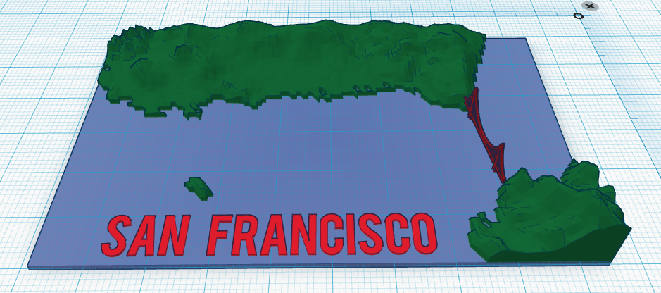
Explore Rising Sea Level with Tinkercad & 3D Printing
Quick idea for exploring rising sea level and the impact on coastal communities using Tinkercad and 3D Printing.
-Use the Terrain2STL website to download an STL file of a coastal city. http://jthatch.com/terrain2stl/
-Repair the file using NetFabb if necessary. May also want to rescale on the Z axis to increase vertical height of the model.
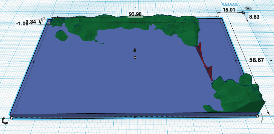
-Import the STL file into Tinkercad.
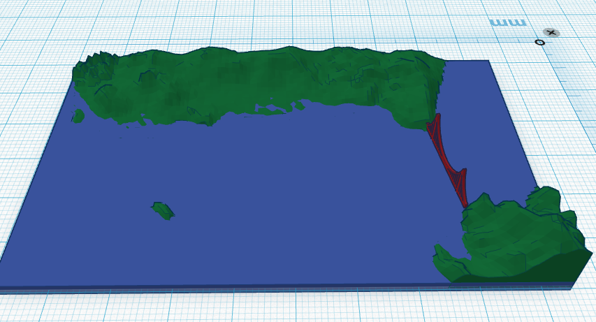
-Create a blue rectangle the size of the base and align with the terrain tile.
-Raise and lower the rectangle to see the impact of rising sea levels on the terrain. (Change the snap grid to 0.1 mm to create more granular height levels.)
-Take screenshots or 3D print models.
Explore this model at https://tinkercad.com/things/k7Pk7Hv3Rrd
For an extension on this project, find the height above sea level of the highest point on your map. Determine the height of the highest point on the STL and create a scaling factor between the model and the real terrain. Students should then be able to set the height of the blue level to represent specific rises in sea levels.
Leave a comment if you have suggestions on a better way to do this sort of exploration of rising sea levels. Or contact me via Twitter @DesignMakeTeach.