3D Model: Virginia Topographic Map
Virginia Topographic Map
Topographic map of Virginia created with a fabulous tutorial by @anoved. Creating height maps of large regions.
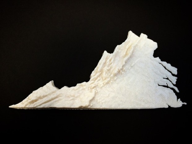
Model was requested several years ago by an elementary teacher for use as a classroom manipulative. I could not find a method at the time to fulfill her request. Tweeted a call for assistance and @anoved stepped up with a tutorial. (I cheated and just used his heightmap photo rather than creating my own.)
The base of the model has been thickened for printability and the z-height has been exaggerated for impact as a learning tool. A remix with an accurate z-height scale would be valuable to the community.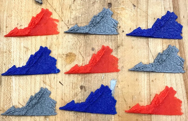
Copy of the map has also been given to a local teacher of the visually impaired.
If you would like to print a map of a smaller rectangular region then check out the following easy to use website. http://jthatch.com/terrain2stl/
If you have suggestions for an easier method for creating topographic/height maps of large regions, please leave a comment or contact me on Twitter @DesignMakeTeach
Remix in Tinkercad https://www.tinkercad.com/things/j6njRIhJRhk
Please SUBSCRIBE to my YouTube channel for more great #3DPrinting #MakerEd #FabLearn #Makerspace content. You can make my day https://www.paypal.me/DesignMakeTeach

This is perfect for 4th grade. My daughter is learning the geography of VA this year. This is great for tactile learners to see and feel the difference between the mountain, piedmont and coastal regions. I’m wondering if the map is printed in white, would it be possible to draw in the rivers with marker or sharpie. Thanks for sharing.